More than 100 years ago, visionaries foresaw a way to transform an impenetrable 1.2 million-acre swampland in southeast Missouri into some of the richest and most productive cropland in America.
The Little River Drainage District (LRDD) was formed in 1907 to drain the swamp. LRDD developed a plan for construction of an elaborate network of drainage ditches, retention basins, and levees that would require moving more than 66 million cubic yards of earth—more dirt than was moved to build the Panama Canal—and transform the nation’s largest wetlands into productive agricultural land.
This extensive, complex project required the involvement of some of the best engineering minds of the time.
Knowing the land falls one foot per mile from Cape Girardeau, Missouri south to the Arkansas border, work began in 1914 on a system of nearly 1,000 miles of drainage channels, and more than 300 miles of levees that rely heavily upon gravity, plus five detention basins. It was completed in 1928.
Today, LRDD and its 33 employees serve a seven-county, 550,000-acre area in the “Bootheel” of Missouri that stretches 100 miles long, ranges from 10 to 20 miles in width and accounts for one-third of Missouri’s agricultural income. The district has approximately 4,000 landowners whose holdings range from half an acre to 10s of thousands of acres. The landowners pay an assessment each year based on the benefit provided by the LRDD system, which is used toward the annual cost of maintaining the district.
In total, the district actually keeps 1.2 million total acres of land drained of unwanted runoff water and drains some two million acres. Before the land was drained, less than ten percent of it was clear of water; now, approximately ninety-five percent is clear and water-free. The soil is a thick, rich gumbo that ranges to a sandy gumbo mix that creates ideal growing conditions for rice, cotton, wheat, peanuts, soybeans, corn, potatoes, peas, melons, etc.
Since the Flood Control Act of 1928, some facilities have been operated and maintained by LRDD with assistance from the U.S. Army Corps of Engineers.
Never-ending job
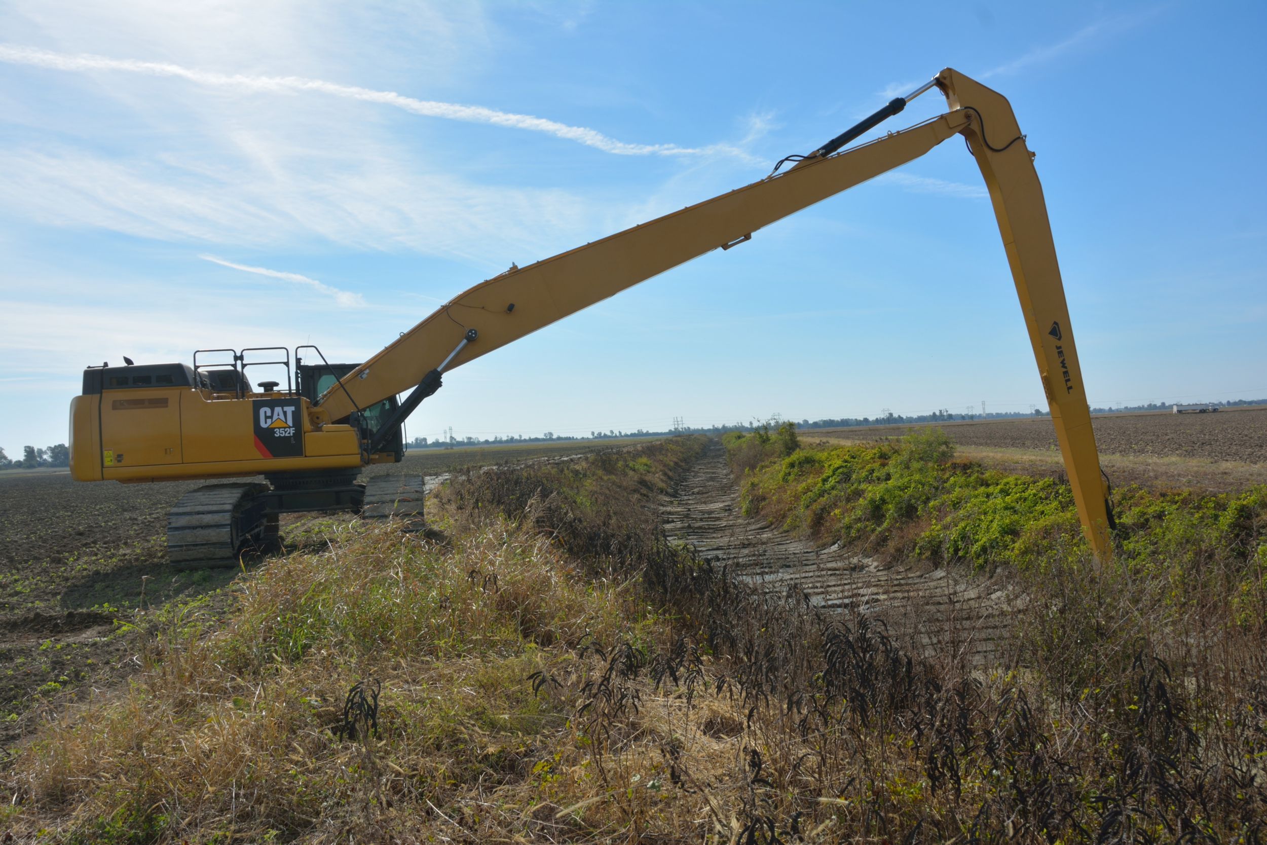
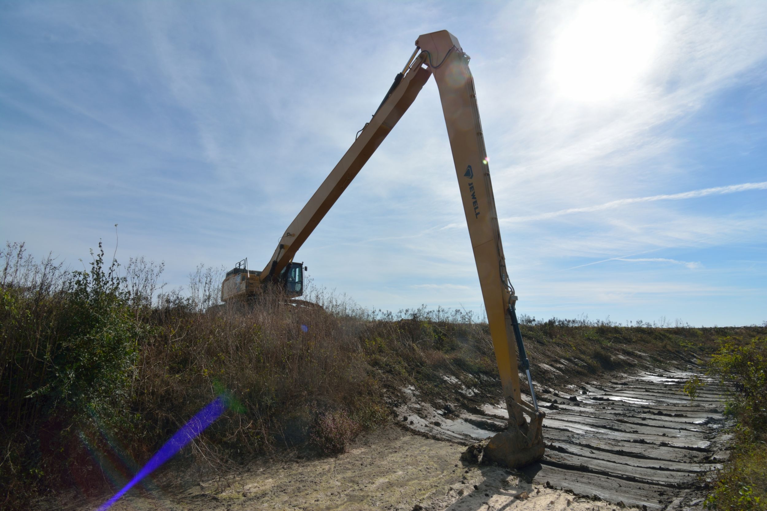
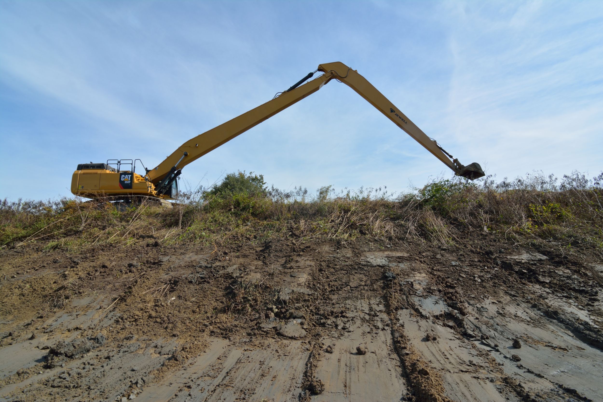
The LRDD System is made up of 1,000 miles of drainage channels, drainage ditches, and 300 miles of levees that require constant maintenance. On a routine basis, LRDD excavates channels, and mows and maintains levees, says W. Dustin Boatwright, PE, Executive Vice President and Chief Engineer for LRDD.
“In addition, we have five detention basins,” Boatwright says. “It takes a constant effort by our 24 ground crew team members to keep the different land features functioning. It takes between five and 10 years to cover the maintenance of the entire network. The equipment we utilize for this maintenance work includes excavators, both short reach and long reach; track loaders, dozers, skid steers, articulated trucks, just an array of equipment. All must be reliable to keep the system running.”